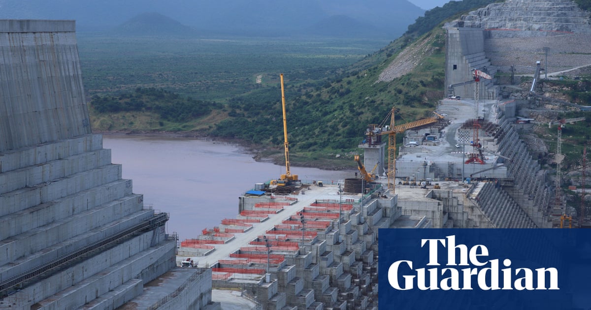
Researchers studying satellite data show slope near village of Hoseynabad-e Kalpush moved after reservoir began to be filled
In recent decades there has been a dramatic rise in the number of dams being built, to keep pace with demand for water or to provide power. Concerns have been raised about increased landslide activity near new dams, and now a study has demonstrated a conclusive link in at least one incident.
In March 2019 a landslide tore apart Hoseynabad-e Kalpush village in north-central Iran, damaging 300 houses and severing the road to the nearby dam. Local authorities blamed the landslide on heavy rainfall and insisted that the dam did not play a role.
However, scientists from the German Research Centre for Geosciences in Potsdam studying satellite data from this region have shown that this previously stable slope began to move after the reservoir began to be filled with water, in 2013. The findings, published in Engineering Geology, show that the land movement initially started from the lower portion of the slope in 2015 and gradually progressed towards the top in subsequent years, as the reservoir water elevation increased.
Results suggest that the accumulation of water in the dam raised the local water table, making the soil in the nearby hillside more mobile, which eventually reactivated an ancient landslide. Exceptionally heavy rainfall in early 2019 provided the final trigger for the landslide. It’s a cautionary tale and a risk that dam engineers need to factor in.
This is the best summary I could come up with:
In recent decades there has been a dramatic rise in the number of dams being built, to keep pace with demand for water or to provide power.
Concerns have been raised about increased landslide activity near new dams, and now a study has demonstrated a conclusive link in at least one incident.
In March 2019 a landslide tore apart Hoseynabad-e Kalpush village in north-central Iran, damaging 300 houses and severing the road to the nearby dam.
Local authorities blamed the landslide on heavy rainfall and insisted that the dam did not play a role.
However, scientists from the German Research Centre for Geosciences in Potsdam studying satellite data from this region have shown that this previously stable slope began to move after the reservoir began to be filled with water, in 2013.
The findings, published in Engineering Geology, show that the land movement initially started from the lower portion of the slope in 2015 and gradually progressed towards the top in subsequent years, as the reservoir water elevation increased.
The original article contains 226 words, the summary contains 169 words. Saved 25%. I’m a bot and I’m open source!
damn


